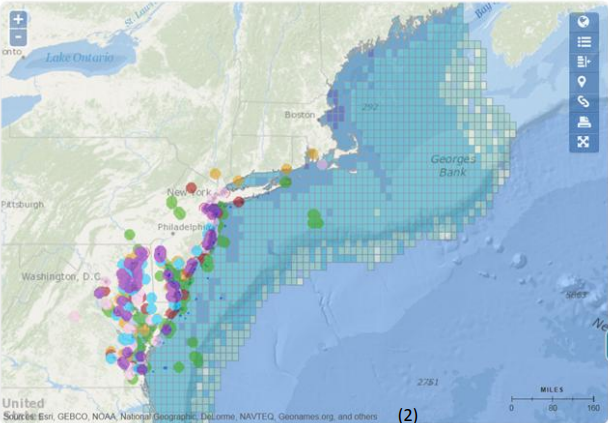
Ocean health depends on all aspects of its ecosystem including human interactions. These aspects must be examined and considered both individually and cumulatively in order to understand and manage ocean health. A technique called Participatory GIS (pGIS) was deployed for mapping and collecting data on recreational use in the Mid-Atlantic Region. The Center supported pGIS efforts in neighboring Mid-Atlantic States and led the pGIS session held in New Jersey where stakeholders created GIS data from their knowledge of recreation categories onto projected, live GIS maps with editing light pens. Stakeholders included recreational & charter fishers; boaters; paddlers; life guards; surfers; divers; wildlife enthusiasts; ecotourism business owners; local, state & federal government representatives; non-profit organizations; and local citizens. These data were then incorporated into a regional data set posted on the Mid-Atlantic Ocean Data Portal which is a mapping tool focused on ocean use from New York through Virginia.
